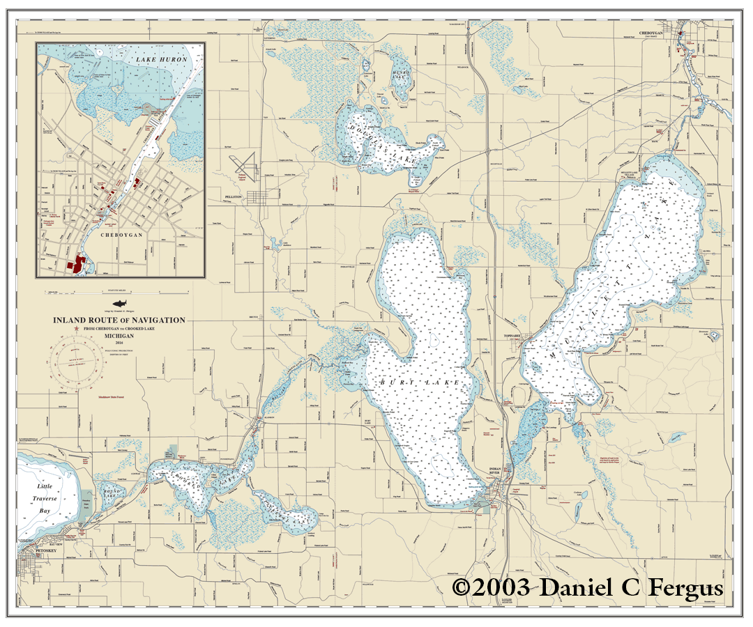
Inland Lakes Map
2003. Adobe Illustrator. 42" x 36"
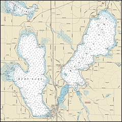
My grandfather bought a cabin in northern Michigan in 1951. A few years later, he acquired a large navigational chart (42 inches x 36 inches) showing the local lakes and rivers, which he hung on the wall in the living room. Alas, the decades took their toll on it and it faded, cracked and become hopelessly out of date. For years I tried to find an new one to replace it, but could not (they simply don’t make charts of that area that size anymore). So in 2003 I decided to make my own map. Using data from current navigational charts, road maps, some aerial photos (this was pre-Google Earth), and my own observations, I created this chart from scratch. A printed version now hangs on the wall of our cabin.
